After installing the TalkyToaster OpenStreetmap onto my Garmin Edge 800 (see tutorial here) I think it will come in quite useful after all.
I do prefer the look of the classic OS discoverer map when in the middle zoom levels, but I think the OSM map will excel in the fine details of the close up.
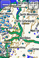
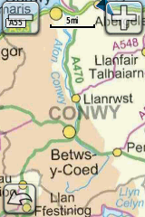
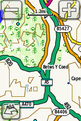
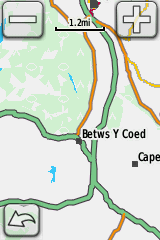
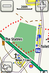
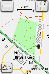
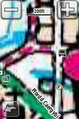
The screenshots below attempt to show this, with the Velomap thrown in for comparison.
The screenshots shown at the end of the video appear below.
I’ve shown 4 zoom levels, which can be gauged by the scale marker at the top of each screenshot.
They go down from 5 miles, 1.2 miles, 0.2 miles and 200 feet.
TalkyToaster OSM |
Velomap OSM |
Ordnance Survey Discoverer |
 |
 |
 |
 |
 |
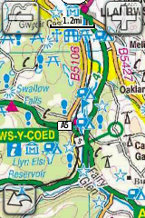 |
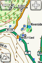 |
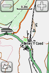 |
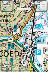 |
 |
 |
 |
My observations:
- Velomap looks quite pale and bland on the Garmin screen, as it lacks contrast.
- Talkytoaster seems very usable at all zoom levels, though because it’s based on OSM, some smaller roads may not have been mapped yet.
- Discoverer maps look great in the mid range but are poor when zoomed in too far. (Update: I’ve posted screenshots of every available zoom level in this post.)
An ideal compromise would be for the Garmin device to display the Discoverer map at mid zoom and then switch to the TalkyToaster map for the ultra high zooms.
But at this stage, I’m not sure if it can do such a thing.
Can anyone shed any light on that?
Get the TalkyToaster map for FREE here
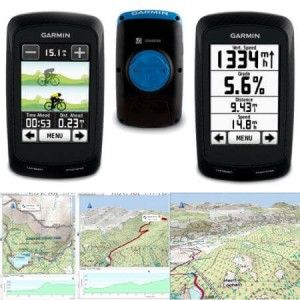
You can get the Edge 800 plus the Discoverer maps from Wiggle Online Cycle Shop

I find the OS maps really difficult to follow and use when cycling – there’s so much detail that it’s very hard to tell what’s coming up or around on the map at a quick glance. I love the idea of having these beautiful maps on my 800, and they’re great for planning, but mid-ride ended up going back to City Navigator Europe for actual in-ride route navigation – partly to be able to do automotive mode with its perspectival view ahead.
Do you follow gpx tracks or tcx courses? I find that tcx courses are the better option on the edge 800, as you get little pop up cues which resemble the clarity of the city navigator view. You can also switch the view from top = North, to top = direction of travel (but this can get confusing!)
Well you better select the GPS layout on the Velomap if you lack contrast.
You activated the desktop layout – which is especially made to be low contrast – as high contrast on your big screen is awful. If you’ld change to the classic layout on the Velomap – then you would discover it is clearly much more contrast than the other 2 maps.
If I bought an Edge Touring with OS Maps (which could be useful to me for hiking), could i *also* install OSM maps, and chose to use those maps when cycling ?
& will those (or indeed OS ones) then let me take advantage of the “I want to ride 20 miles, find me a circular route please” feature (that is a feature, right ?!)
thanks!
I have the Garmin 64X and I have the OSI(reland) and TalkyToaster on it, While hiking and trying to find PATHs TalkyToaster is far better.
The 64X automatically selects the OSI maps and even if I zoom in to just a pure blur it will not ‘switch’ to TalkyToaster. I have to go int MAP options and disable OSI before using TalkyToaster.